Ever drive through North Yorkshire and spot a village name so obscure you have to Google it to check you read the road sign correctly? That’s Kirby Grindalythe for most people. But searching for “quiet Yorkshire villages” or “hidden Wolds settlements” and skipping this place would be a real mistake. I’ve visited dozens of small villages across the Yorkshire Wolds, and Kirby Grindalythe keeps pulling me back. This civil parish in the Great Wold Valley, home to barely 100 residents, packs more history and atmosphere into its two streets than villages ten times its size. Medieval earthworks, a spectacular 12th century church, the mysterious Gypsey Race stream, and walking routes that show you the Wolds at their most peaceful—all tucked away where most tourists never think to look.
- The History of Kirby Grindalythe
- St Andrew’s Church: Kirby Grindalythe’s Crown Jewel
- The Great Wold Valley and Natural Landscape
- Walking Routes Around Kirby Grindalythe
- Practical Visitor Information
- Why Visit Kirby Grindalythe?
- Frequently Asked Questions
- Final Thoughts: Discovering Kirby Grindalythe’s Quiet Magic
Here’s what frustrates me about guides to Yorkshire Wolds villages: they either lump everywhere together with generic descriptions, or they focus entirely on the obvious spots like Sledmere and ignore genuine hidden gems. I’ve walked the public bridleway routes around Kirby Grindalythe with OS maps in hand, spent time in St Andrew’s Church photographing the Victorian mosaic, traced the Gypsey Race through the valley, and talked with local people who actually live here rather than just passing through. What you’re about to read isn’t recycled tourist board content or vague “charming village” waffle—it’s practical detail from someone who keeps returning because Kirby Grindalythe offers something increasingly rare: authenticity without trying, history you can actually touch, and peace that doesn’t come with an entrance fee.
Whether you’re planning the Kirby Grindalythe Round walk, researching Yorkshire Wolds villages for a tour, or simply stumbled across this name and wondered if it’s worth the detour, this guide tells you everything. I’ll walk you through the village’s medieval past and Domesday Book connections, reveal why St Andrew’s Church won a national award, explain the fascinating Gypsey Race winterbourne stream, share the best walking routes, and give you practical advice about visiting. Ready to discover why this tiny North Yorkshire village deserves a spot on your Yorkshire Wolds itinerary? Let’s start with the history that makes Kirby Grindalythe so special.
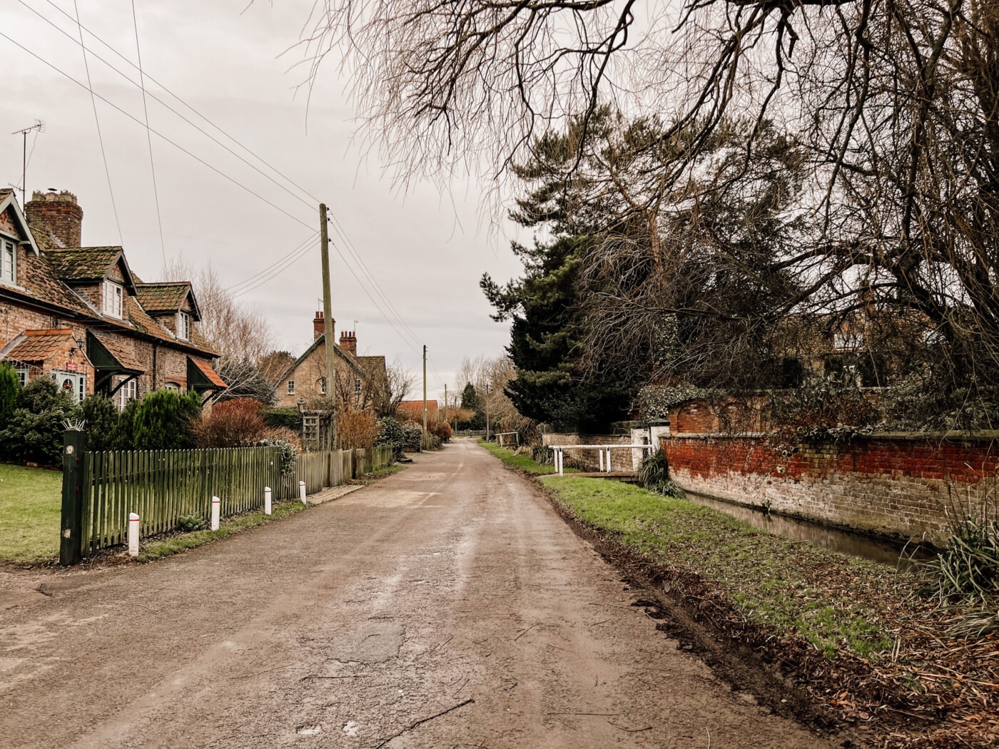
The History of Kirby Grindalythe
For a village of around 100 people, Kirby Grindalythe punches well above its weight historically.
Domesday Book to Medieval Settlement
Kirby Grindalythe appears in the Domesday Book of 1087, recorded after the Norman Conquest reshuffled land ownership across England. The name itself reveals layers: “Kirby” derives from Old Norse, meaning “church settlement,” while “Grindalythe” combines more Old Norse elements referring to a green valley or ravine. Those Old Norse names scattered across the Yorkshire Wolds remind us that Vikings settled here long before the Normans arrived.
The medieval settlement earthworks sit just south-west of St Andrew’s Church, protected as a Scheduled Monument under entry number 1017069 on the National Heritage List for England. The Ancient Monuments and Archaeological Areas Act 1979 gives these remains legal protection, and walking past them with OS maps in hand, you can still make out roads, house platforms, and other features showing how the medieval village was laid out.
A 1755 enclosure map shows buildings and trackways that once belonged to this community. Over centuries, the settlement contracted—common across the Yorkshire Wolds where villages shrank or disappeared entirely after the Black Death and later agricultural changes. But unlike completely abandoned medieval villages like nearby Wharram Percy, Kirby Grindalythe survived.
The public bridleway routes around the village let you walk right past these earthworks. I always bring detailed OS maps because they help identify exactly where buildings stood and how the medieval layout worked. The past isn’t abstract here—you’re literally walking through it.
The Sykes Family Connection
Sir Tatton Sykes II, the 5th Baronet of Sledmere, shaped much of the Yorkshire Wolds landscape in the Victorian era. His family’s estate covered vast areas, and Sir Tatton commissioned church restorations across the region. Between 1872 and 1875, he hired architect G.E. Street to restore St Andrew’s Church, giving it much of the Victorian character visible today while preserving its Norman core.
The Sykes family understood the importance of the Great Wold Valley landscape and the Gypsey Race stream that flows (when it flows at all) through their estates. Their influence shows in the well-maintained churches, planned estate villages, and agricultural improvements that defined this area.
Kirby Grindalythe sits on the Sykes Churches Trail, a route connecting the most beautiful historic churches the family helped preserve. If you’re exploring multiple villages, following this trail reveals the Victorian restoration movement’s impact on North Yorkshire.
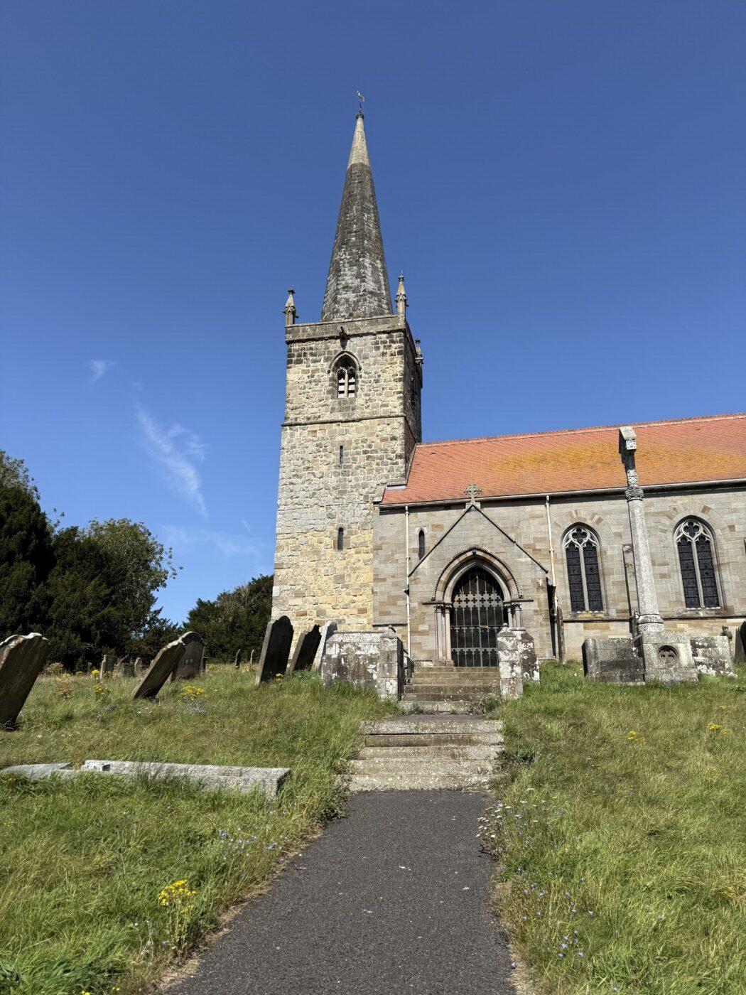
St Andrew’s Church: Kirby Grindalythe’s Crown Jewel
St Andrew’s Church dominates the village—and deservedly so. It’s a Grade I listed building with genuine architectural and historical significance.
Practical Information:
- Location: Village centre, Kirby Grindalythe, North Yorkshire
- Grade: Grade I listed building
- Dates: 12th century (Norman), restored 1872-1875
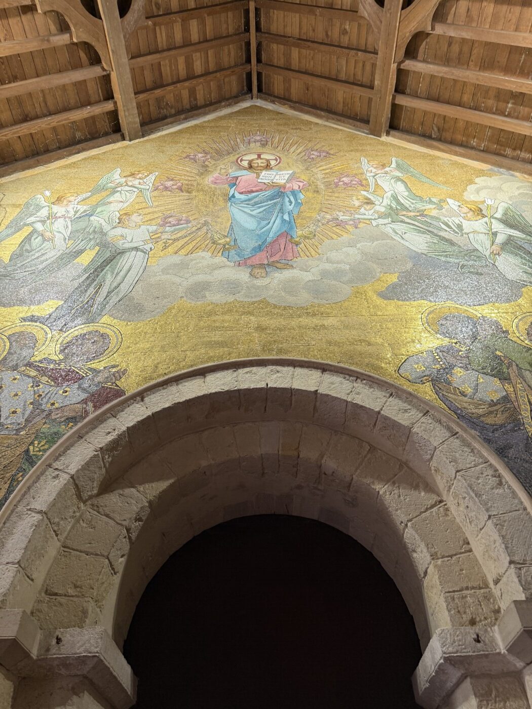
- Key Features: Norman tower and arch, 9th/10th century crosses, Victorian mosaic
- Parking: Roadside in village (limited)
- Access: Usually open daylight hours, free entry
You can read more about it in my full review here.
The Great Wold Valley and Natural Landscape
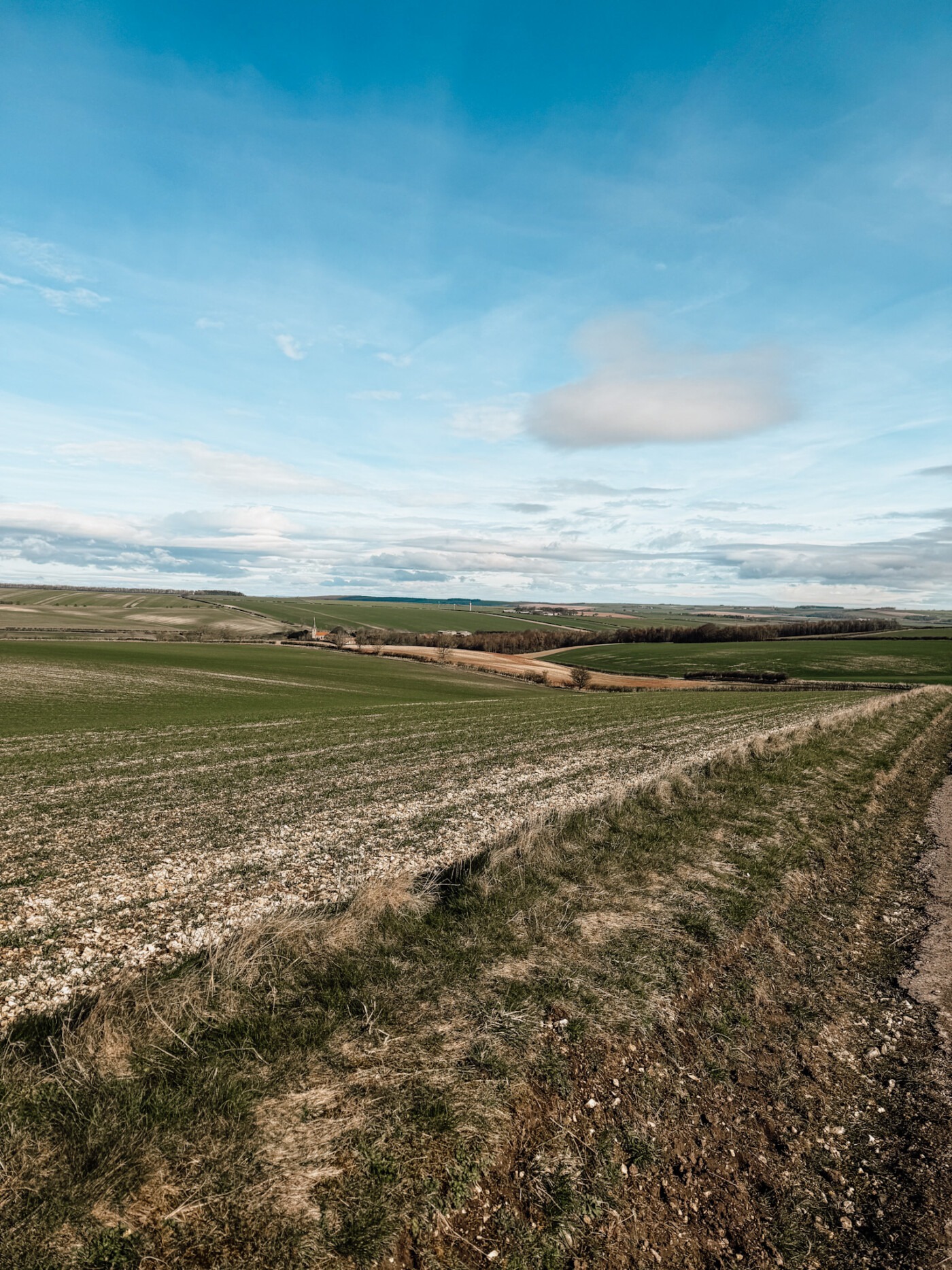
Kirby Grindalythe sits in the Great Wold Valley, one of the Yorkshire Wolds’ most distinctive landscape features. This wide, gentle valley cuts through the chalk hills, creating views that stretch for miles.
Understanding the Wolds Landscape
The Yorkshire Wolds formed from chalk deposits laid down when this area was underwater millions of years ago. The later ice age carved valleys and shaped the rolling hills. The Great Wold Valley runs roughly east-west, and standing on the valley floor or the surrounding hills offers completely different perspectives.
Rolling fields and gentle hills stretch in every direction. On a clear day from the higher points, you can see across to the North York Moors or toward the coast. The landscape feels open, expansive, and surprisingly peaceful given how close you are to busier areas.
OS maps are essential for finding your way along the public bridleway routes and footpaths that cross the valley. The Ordnance Survey Explorer OL27 (North York Moors Eastern area) covers Kirby Grindalythe and shows the walking routes clearly.
On 8th October 2024, Natural England launched a consultation to designate part of the Yorkshire Wolds as an Area of Outstanding Natural Beauty (AONB). This would give the landscape even greater protection and recognition. The Great Wold Valley definitely deserves that status.
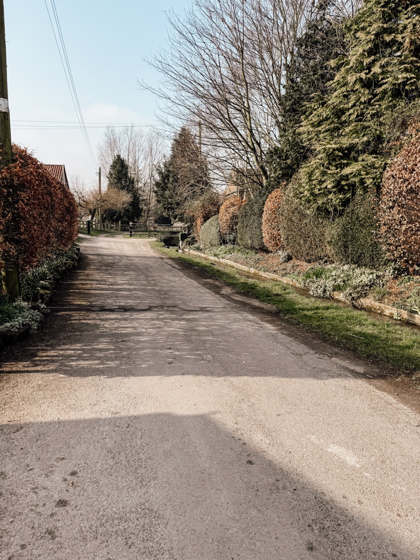
The Gypsey Race
The Gypsey Race is one of the most fascinating natural features around Kirby Grindalythe. This winterbourne stream—meaning it only flows above ground when the water table is high enough—is the UK’s most northerly chalk stream.
The stream starts near Rudston (home to Britain’s tallest standing stone, the Rudston Monolith) and finishes its roughly 25-mile journey hidden beneath Bridlington, flowing into the North Sea. But here’s what makes it truly mysterious: the Gypsey Race can disappear completely underground during dry periods, then surge back to life after heavy rainfall.
It reaches full flow roughly every two to three years, though major floods occur far less frequently—approximately every 50-60 years. The last dramatic flood event was at Christmas 2012 when homes in Burton Fleming were inundated. In 2024, persistent rain brought the stream perilously close to bursting its banks again, with sandbags deployed as a precaution.
Ancient people clearly recognised the Gypsey Race’s significance. Duggleby Howe and Willy Howe, two massive Neolithic barrows, sit along its route. These burial mounds suggest the stream held spiritual or ceremonial importance over 5,000 years ago. The life-giving power of water appearing and disappearing must have seemed almost magical.
Following the Gypsey Race using OS maps reveals quiet corners—duck ponds in villages like Wold Newton, ancient field patterns, and Old Norse place names hinting at Viking settlement. Sites like Foxholes and the vanished Little Argham Henge once marked spiritual or burial locations nearby.
Sir Tatton Sykes II understood the Gypsey Race’s importance to the landscape. His family’s estates encompassed much of the stream’s route, and their land management decisions shaped how we experience this unique feature today.
Gypsey Race Key Facts:
- Type: Winterbourne chalk stream
- Length: Approximately 25 miles
- Flow: Intermittent, above/below ground depending on water table
- Flood Frequency: Major floods every 50-60 years (2012 most recent)
- Special Status: UK’s most northerly chalk stream
- Ancient Significance: Neolithic barrows along route (Duggleby Howe, Willy Howe)
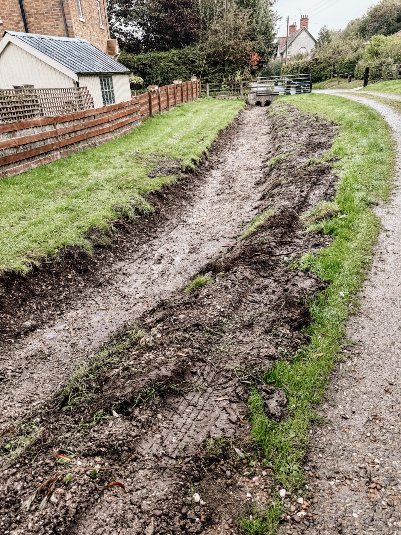
Walking Routes Around Kirby Grindalythe
The village makes an excellent base for exploring the Yorkshire Wolds on foot. The landscape here has peaceful paths, historical features, and views that justify carrying your camera.
The Kirby Grindalythe Round
This 5.37-mile circular walk takes approximately 2.5 hours at a moderate pace and showcases the best of the Great Wold Valley. It’s become my go-to walk when I visit—long enough to feel like proper exercise, short enough to fit into an afternoon.
Starting Point: Park near the village phone box in Kirby Grindalythe. There’s space for a few cars here, and an information board details the village history and the surrounding area.
Route Highlights:
The walk follows well-marked public bridleway and footpath routes. OS maps (Explorer OL27) show the route clearly, and step-by-step guides are available online if you need extra support. I always carry OS maps regardless—mobile signal can be patchy in the valleys.
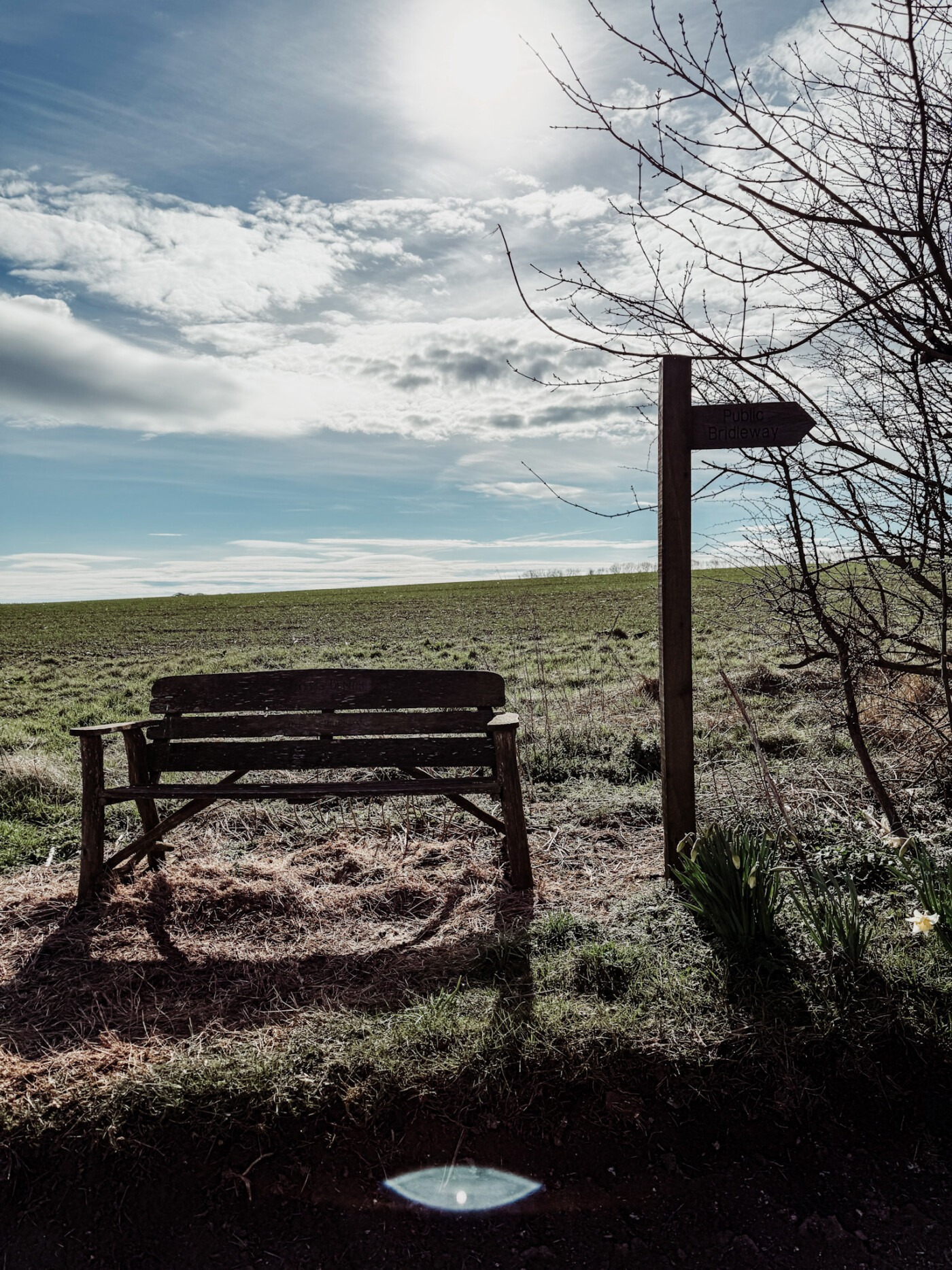
Toby’s Bench offers the best viewpoint on the walk, sitting at nearly 500 feet above sea level with panoramic views over the Great Wold Valley. It’s the perfect spot to pause with a flask of tea and simply look. The bench commemorates a local person, one of many small memorials that make Yorkshire walking routes feel personal.
Medieval Village of Mowthorpe remnants appear along the route. Like Kirby Grindalythe itself, Mowthorpe was mentioned in the Domesday Book but contracted over centuries. The Black Death devastated many Wolds settlements in the 14th century, and agricultural changes continued the decline. Walking past these earthworks reminds you that today’s peaceful fields once supported thriving communities.
The Gypsey Race winds through the countryside, and in winter when the stream flows freely, it adds special magic to the walk. Even when dry, the valley it carved remains obvious. Following the winterbourne’s course reveals how water shaped this entire landscape.
Wildlife Watching: According to Yorkshire Wildlife Trust’s 2024 State of Yorkshire’s Nature report, Yorkshire hosts between 40,000 and 45,000 different species, though nearly 2,000 species have been lost in the last 200 years. The Wolds support important populations of ground-nesting birds including curlews, which Yorkshire Wildlife Trust works to protect. Skylarks fill the air with song in summer, and you might spot red kites circling overhead—they’ve been successfully reintroduced to the Yorkshire Wolds.
Practical Details:
- Distance: 5.37 miles (8.6 km)
- Time: 2.5 hours approximate
- Difficulty: Moderate (some hills, can be muddy after rain)
- Terrain: Chalk paths, field edges, quiet lanes
- Parking: Near village phone box (limited spaces)
- Maps: OS Explorer OL27 recommended
- Dogs: Welcome (keep on leads near livestock)
Connecting to Longer Trails
Kirby Grindalythe sits near (though not directly on) the Yorkshire Wolds Way National Trail. This 79-mile trail runs from Hessle near the Humber Bridge to Filey on the North Yorkshire coast. Most people complete it in 6-7 days, taking time to enjoy what the countryside offers rather than rushing.
The Centenary Way long-distance path passes nearby as well. This 83-mile trail runs from York to Filey, crossing the Yorkshire Wolds and offering an alternative to the Wolds Way with different scenery.
If you’re walking either long-distance trail, Kirby Grindalythe makes a worthwhile detour.
OS Maps and Navigation
I cannot stress enough: bring proper OS maps. Mobile apps are useful as backup, but paper maps work when your phone battery dies or signal disappears (which it will in the valleys).
Essential Maps:
- OS Explorer OL27 – North York Moors Eastern area (covers Kirby Grindalythe and surrounding walks)
- OS Explorer 300 – Howardian Hills & Malton (adjacent area)
The OS Maps app lets you download maps for offline use if you prefer digital navigation. Either way, don’t rely solely on Google Maps—it’s rubbish for countryside walking.
Public bridleway routes are marked on OS maps with green dashed lines, footpaths with red dashed lines. Knowing the difference matters—bridleways allow cyclists and horse riders, footpaths are walkers only.
Practical Visitor Information
Kirby Grindalythe is small, remote, and doesn’t cater specifically to tourists. That’s part of its charm, but it means planning ahead matters.
Getting to Kirby Grindalythe
By Car: The only practical option. Kirby Grindalythe sits just off the B1253 between Malton and Driffield. The village makes a quiet detour on this route, and its secluded location is exactly what keeps it unspoiled.
From Malton: Head east on B1253 towards Driffield, approximately 15 milesFrom Driffield: Head west on B1253 towards Malton, approximately 12 milesFrom York: Take A64 to Malton, then B1253 east
The lanes around Kirby Grindalythe are typically Yorkshire—narrow, winding, and occasionally shared with tractors. Drive carefully, especially if you’re not used to country roads. There is a sharp dip before coming to the village, where the road gets quite narrow. Take care here, as it’s a bit of a blind spot.
By Public Transport: Virtually impossible. No regular bus service reaches Kirby Grindalythe. The nearest stations are Malton (about 12 miles) or Driffield (a similar distance), but without a car from there, you’re stuck. There is a small mini-bus that stops by twice a day, but this is not recommended.
Parking: Limited roadside parking in the village. The phone box area where the Kirby Grindalythe Round walk starts has space for a few vehicles. Be considerate—don’t block gateways or access for farm vehicles.
Facilities (Or Lack Thereof)
Let me be completely honest: Kirby Grindalythe has almost no facilities. This is a tiny civil parish of around 100 residents, not a tourist destination.
There is no Kirby Grindalythe pub (the nearest is the Triton Inn in Sledmere) and no toilets, cafe or shop. It is a tiny civil parish of around 100 residents, not a tourist destination. Come prepared with everything you need—water, snacks, a fully charged phone, and proper walking gear. There’s only a small Post Office which is open a few hours a day from someone’s house.
The nearest facilities are in:
- Weaverthorpe (3 miles) – Small shop
- Sledmere (5 miles) – Coach House Cafe at Sledmere House
- Driffield (12 miles) – Full facilities
- Malton (12 miles) – Full facilities
Accommodation
You won’t find accommodation in Kirby Grindalythe itself. The nearest options include:
Holiday Cottages: Several farms around the Great Wold Valley offer self-catering cottages. Search for accommodation in Weaverthorpe, Sledmere, or the B1253 corridor.
Hotels/B&Bs: Base yourself in Driffield, Malton, or Pickering and drive to Kirby Grindalythe for walking. All three towns offer decent accommodation options and proper facilities.
Camping: No official campsites in the immediate area. The nearest are around Malton or toward the coast.
Best Time to Visit
Spring (April-May): Wildflowers appear, lambs in fields, generally dry walking conditions. The Gypsey Race might be flowing after winter rain.
Summer (June-August): Longest days, warmest weather, but can be dry (Gypsey Race likely underground). Crops growing in fields mean sticking to paths is essential.
Autumn (September-October): Beautiful colours, fewer visitors, harvest time. Can get muddy after rain.
Winter (November-March): Short days, muddy paths, cold. But if the Gypsey Race is flowing, it’s magical. Wrap up warm.
I’d personally choose May or September—good weather without summer heat, and the countryside looks stunning.
What to Bring
- OS maps (Explorer OL27 essential)
- Proper walking boots (chalk paths get slippery when wet)
- Waterproof jacket (Yorkshire weather changes fast)
- Water and snacks (no facilities in village)
- Fully charged phone
- Camera (you’ll want it for St Andrew’s Church mosaic and valley views)
- Binoculars for wildlife watching (optional but recommended)
Respect the Village
Kirby Grindalythe isn’t a museum—people actually live here. Respect private property, close gates behind you, keep dogs under control near livestock, and take all litter home. The residents have worked hard to preserve their church and village. Don’t be the tourist who ruins it for everyone else.
Why Visit Kirby Grindalythe?
Fair question. It’s remote, tiny, has no facilities, and requires effort to reach. So why bother?
Because Kirby Grindalythe represents something increasingly rare: authenticity. This isn’t a village that’s been tarted up for tourists or lost its soul to second homes. It’s a working North Yorkshire community that happens to have extraordinary history, stunning architecture, and beautiful surroundings.
St Andrew’s Church alone justifies the visit—that Victorian mosaic is spectacular, and the Norman architecture deserves more recognition. The medieval earthworks and Domesday Book connections appeal to history lovers. The Great Wold Valley landscape offers peace and views without crowds. The Gypsey Race adds intrigue.
But mostly, Kirby Grindalythe works because it doesn’t try too hard. It simply exists, quietly getting on with being a proper Yorkshire village. In an age of Instagram destinations and overtourism, that feels refreshingly honest.
Frequently Asked Questions
How do you pronounce Kirby Grindalythe?
“KER-bee GRIN-dal-ith” is close enough. Locals might say it slightly differently, but nobody will judge you for getting it wrong—it’s an awkward name however you say it.
Is Kirby Grindalythe worth the tips if I’m already seeing other Yorkshire Wolds villages?
If you’re specifically interested in church architecture or medieval history, absolutely yes. St Andrew’s Church is exceptional, and the combination of Norman and Victorian elements makes it architecturally significant. If you’re just village-hopping for scenery, places like Millington or Thixendale might appeal more.
Can I visit Kirby Grindalythe with children?
Yes, though there’s nothing specifically aimed at kids. The Kirby Grindalythe Round walk works for older children who regularly walk 5+ miles. The church might interest history-loving kids. But there’s no playground, no café for treats, and limited facilities generally.
Are dogs allowed in Kirby Grindalythe?
Dogs are welcome on the walking routes (keep on leads near livestock) and generally in the churchyard (check current signs). The Great Wold Valley offers excellent dog walking with fewer stiles than some other Wolds routes.
What’s the mobile phone signal like?
Patchy at best. Don’t rely on it for finding your way or emergencies. Tell someone your plans before walking, carry OS maps, and download offline maps if using apps.
Where can I find more information about the Yorkshire Wolds?
The main Yorkshire Wolds guide on this blog covers the entire region comprehensively. Natural England manages information about the Yorkshire Wolds Way and public access. Visit East Yorkshire provides tourism information. The Sykes Churches Trail website covers the church restoration heritage.
Is there a privacy policy for visiting?
Kirby Grindalythe is a public village with a public church—there’s no formal “visitor policy.” Just respect that it’s a working community. Don’t photograph people’s homes close-up, don’t peer through windows, keep to public rights of way, and behave like a decent human being.
Is there a Kirby Grindalythe church pub?
No, there is no pub in the village itself. While St Andrew’s Church is a major landmark, the closest place for a drink or a meal is the Triton Inn in Sledmere, which is about 5 miles away.
Final Thoughts: Discovering Kirby Grindalythe’s Quiet Magic
Kirby Grindalythe won’t appear on “Top 10 Yorkshire Villages” lists, and that’s exactly why I keep returning when I want somewhere to walk. This tiny civil parish in the Great Wold Valley has lots of genuine history you can trace from the Domesday Book through medieval earthworks to Victorian restoration, a Grade I listed 12th century church that really deserves the national award it won, and a landscape shaped by the Gypsey Race winterbourne stream.
The walk around the Great Wold Valley reveals North Yorkshire at its most peaceful. Following public bridleway routes with OS maps in hand, passing medieval settlement remains, watching for wildlife, and pausing at Toby’s Bench to take in the views—this is Yorkshire Wolds walking without the crowds.
Sir Tatton Sykes II understood what made this landscape special when he commissioned G.E. Street to restore St Andrew’s Church. That new nave and stunning mosaic elevated a Norman church into something exceptional, proving that Victorian additions could enhance rather than diminish ancient architecture.
Whether you’re researching Yorkshire Wolds villages for a tour, planning walking routes, or simply curious about that odd name you spotted on a map, Kirby Grindalythe rewards the effort. It’s not easy to reach, it has no facilities, and it doesn’t try to entertain you. But if you want authenticity, history, and peace, this small village in the Great Wold Valley delivers completely.
The Old Norse place names, the Gypsey Race flowing when it chooses, the gravestones weathering in St Andrew’s churchyard—they all tell stories about centuries of life in this corner of North Yorkshire. And that’s worth far more than another overpriced cream tea in a tourist trap.
Kirby Grindalythe is waiting. Just remember to bring your OS maps.
Related Guides: